Thirteen walkers met at the bottom of Cherry Gardens Lane, Oldland Common for our August Amblers Walk — Dramway South
We had walked Dramway North led by Nigel in the Spring and this walk picked up the Dramway after the tunnel under Cherry Gardens Lane, Oldland Common. The Dramway, or Avon and Gloucestershire Railway to use its proper name, was completed in 1834 but was out of use by 1866 as the Midland Railway had built a line from Mangotsfield to Bath. The Dramway used horse-drawn drams or carts which each carried two to two and a half tons of coal, whereas the new Midland line used steam locomotives and trains of wagons carrying 10 tons each. So, it is easy to see why the Dramway didn’t stay open for long.
However, the section that we were walking reopened in 1876 when the California pit in Oldland reopened to exploit a seam of high quality, low sulphur coal favoured by blacksmiths. A tramway and gravity operated inclined plane was opened to connect California pit to the Dramway, and we were able to see the inclined plane where it connects to the Dramway path. This section of line closed again after about twenty years as the seam of coal at California pit was worked out.
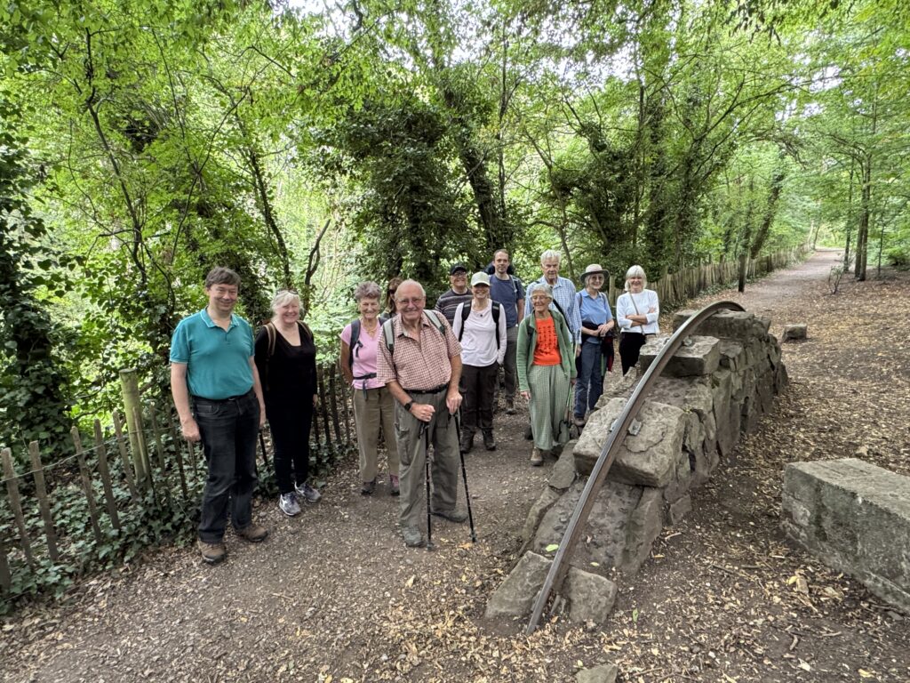
As we headed off towards Willsbridge, we came across a section of dramway rail mounted on a plinth as shown in the photograph. A little further on, the path diverts away from the line of the Dramway which is closed to the public where it passes through Willsbridge tunnel. From there it picked up the line where it crossed the A431, just before the roundabout, where the A4175 from Keynsham joins the “Via Julia”, as the A431 is known. We crossed the road and, climbing over a very non-user-friendly stile, rejoined the line of the Dramway with several stone sleepers visible in the short grass. A little further on the Dramway split with the left-hand line going to Londonderry Wharf and the right-hand line, which we followed, heading for Avon Wharf.

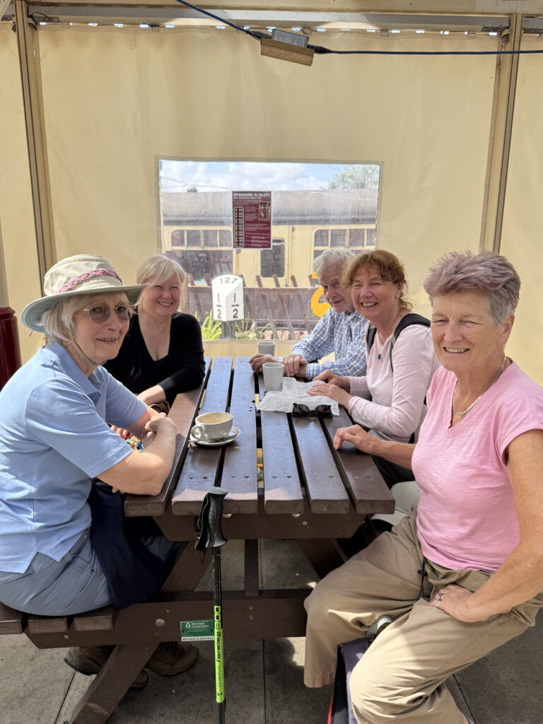
The remains of Avon Wharf are situated just upstream from where Siston Brook joins the River Avon, and a derelict weighbridge office can still be seen in the undergrowth. We then followed the river upstream to Keynsham lock and shortly arrived at the Lock Keeper pub, shown in the second photograph, which is highly recommended, but the sun wasn’t yet over the yardarm. We continued upstream, passing several houseboats, and soon came to the remains of Londonderry Wharf with another derelict weighbridge office and some sheds. The two wharves enabled the tolls for Keynsham lock to be avoided whether the coal was to be transported East or West. A rather grand Georgian house is close by, and this was built by the Avon and Gloucestershire Railway to house the Dramway Manager and offices.
The walk continued, picking up the Monarch’s Way and then climbing up to the Bristol to Bath Railway path, being careful to avoid the high speed Lycra. A little further on, we reached Bitton Station, where we enjoyed refreshments before completing the last half mile and returning to the starting point.
Hi Nigel that looks a good walk shame I missed it do you have a map of the walk
Regards Paul
This link should take you to a map with several features such as “fly through”
https://explore.osmaps.com/route/26539187/dramway-south?lat=51.42964&lon=-2.49363&zoom=13.4954&style=Leisure&type=2d