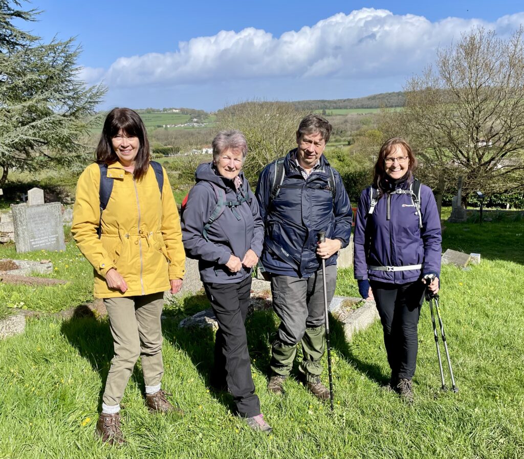
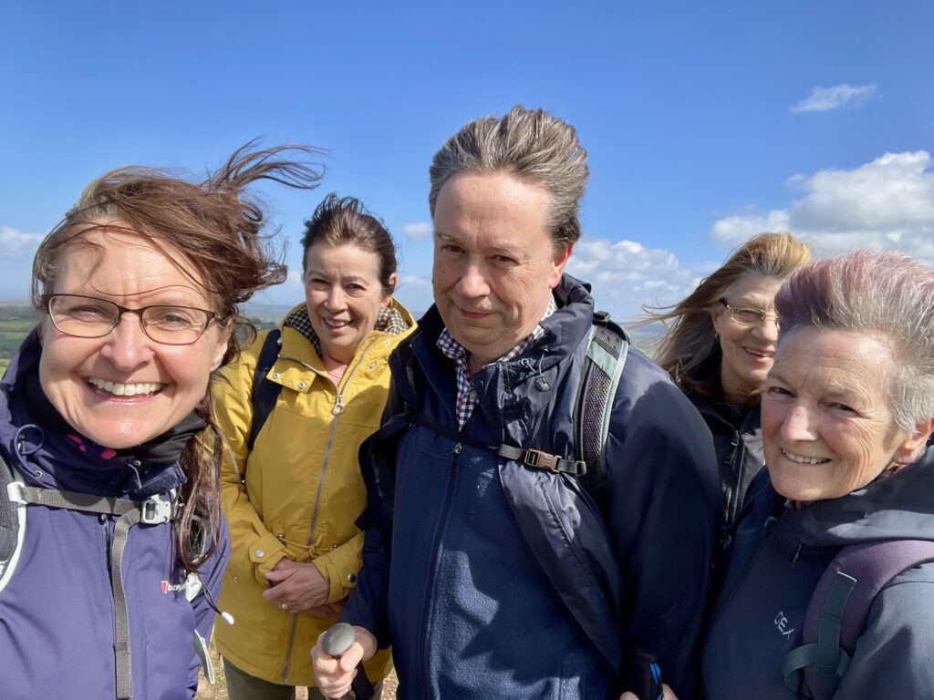
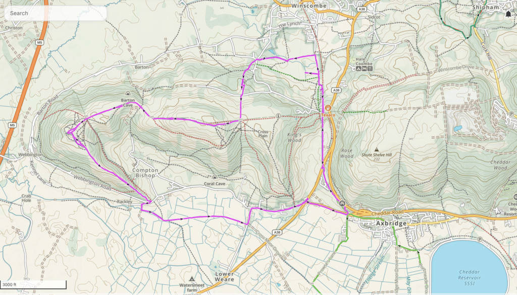
Five of us met at the Axbridge Picnic Area car park for today’s walk to Crook Peak.
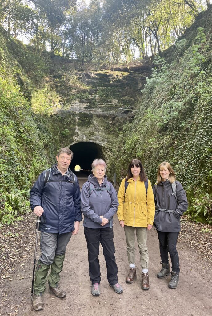
The walk began along the Cheddar Valley railway path following the route of the old ‘Strawberry Line’. The train line ran until the late 1960s. It was named the ‘Strawberry Line’ as it was used to transport strawberries grown in the Cheddar area to Bristol and other markets. We walked through the Shute Shelve Tunnel. The 165 metre tunnel was originally blasted out of solid rock in 1868 and is now a home to bats and rare cave spiders (thankfully we didn’t see any).
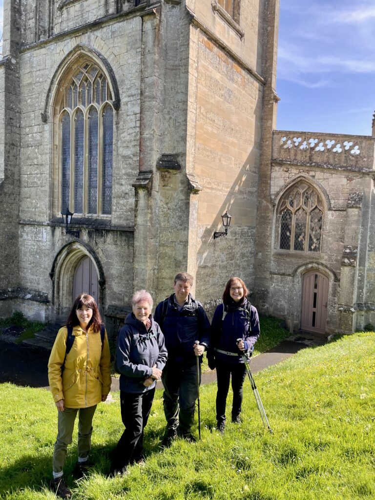
Crossing fields, we then headed towards St James Church in Winscombe for our morning coffee break. The churchyard was full of yellow primroses and there were beautiful views across the surrounding countryside.
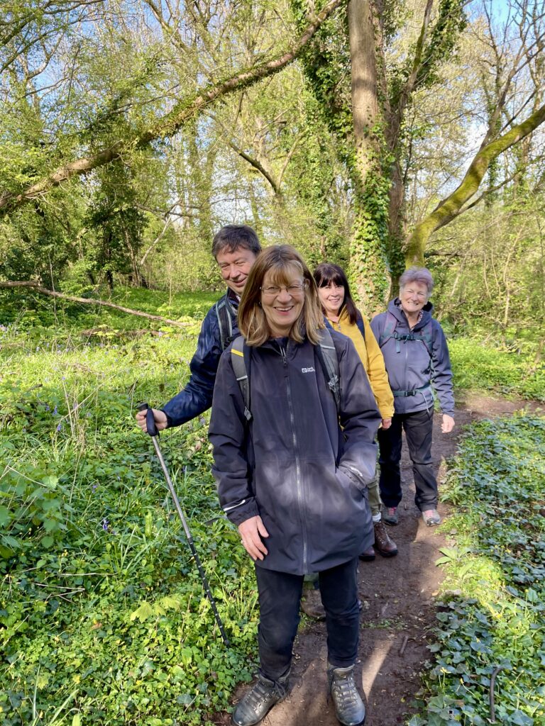
We then began the steady climb through bluebell filled woodland to Wavering Down.
Following the West Mendip Way, we reached the Wavering Down Trig Point, 211 metres above sea level, slightly higher than Crook Peak. From here, there were stunning panoramic views across the Somerset Levels, Cheddar Reservoir and the Bristol Channel.
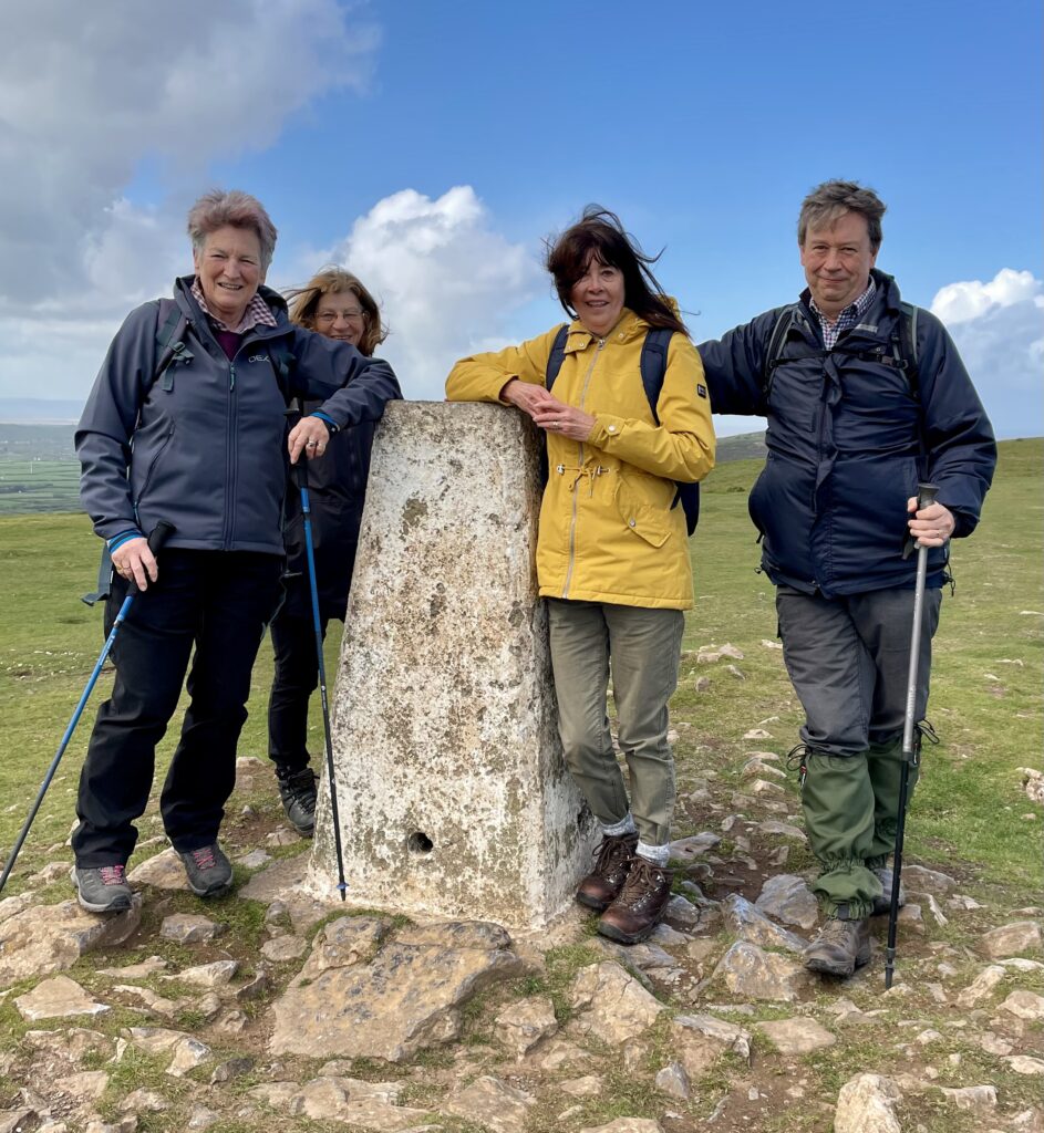
Continuing along the West Mendip Way, enjoying the beautiful views, we reached the very windy top of Crook Peak. The name is thought to come from the Saxon word ‘cruc’, meaning hilltop.
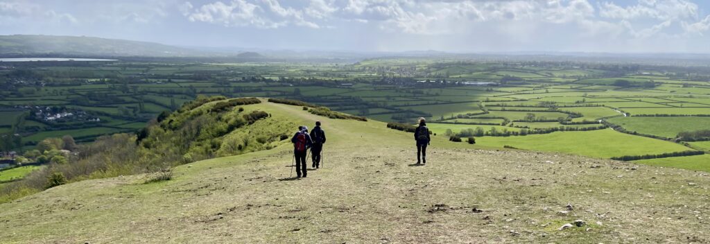
Descending from Crook Peak, there were views of the Somerset Levels and the village of Compton Bishop.
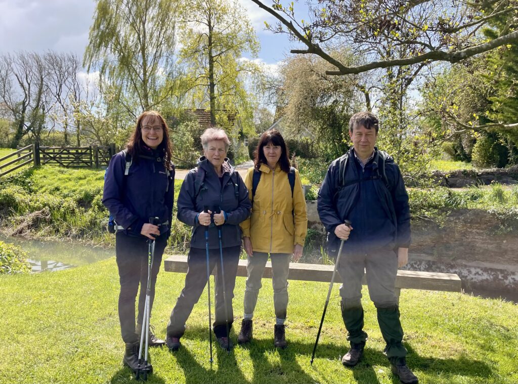
A heavy shower of rain caught us as we followed the River Axe, heading back to our starting point. But, on reaching the village of Cross, the sun began to shine again. We enjoyed lunch on two benches in a quiet corner of the village by the river.
From here, we returned to the start. A very enjoyable walk.
I love walks around (and over) Crook Peak, it looks like you had a great day 🙂 Sorry I couldn’t make it x
Sorry to miss another walk but glad you’ve had a lovely day.